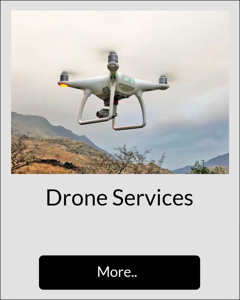
Aerial Imagery
A remotely piloted drone, professional DSLR camera or trail cameras are used to capture high definition images and videos at height, both day and night as best suits your project.
From assisting geotechnical engineers in fly-by cliff safety inspections, to facilitating building and structural photographic surveys, all the way through to wildlife studies at height or images from a new perspective.
Please contact us with your requirements.
Pre-job inspection and planning
Choosing the best method to safely carry out potentially dangerous jobs at height such as maintainace of fragile roofs or unstable rock faces can be particularly challenging and expensive.
With modern improvements in drone technology and software and with careful planning, it is possible to take control and remotely video and photograph cliffs, buildings, structures, forest canopies and more, to inspect the safest access and egress method in order to carry out your job in the most efficient way.
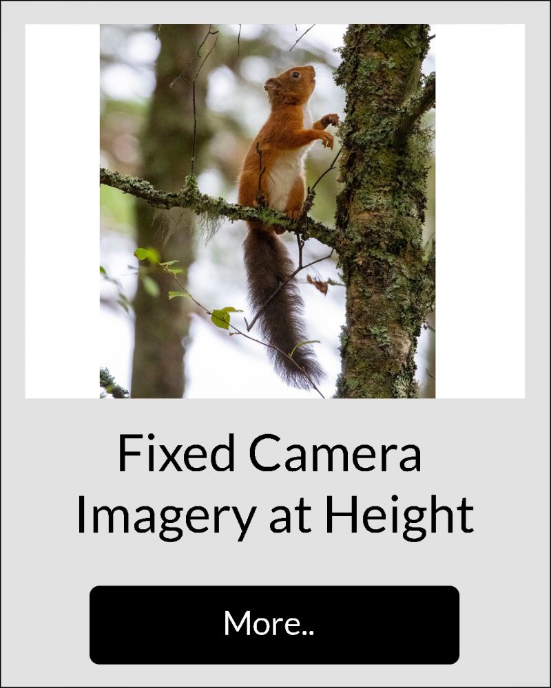
Where drone imagery is impractical or not permissable or simply because it works better for the task at hand, we may use rope techniques to access vantage points for photography or videography with a professional DSLR camera or trail camera.
Safety is always of primary concern
The fully trained commercial drone pilot will only fly once the necessary pre-flight planning, risk assessment and method statement is carried out in accordance with Civil Aviation Authority rules and good practice.
Access to areas using rope techniques will be performed with minimal impact to the environment.
AERIAL IMAGERY SERVICES: